
01 Domain
Aerial
systems.
Purpose-built aircraft that turn the world into data, from converging crop rows to the far side of a structure no one can safely reach.
The stack
We design, build and fly the aircraft, integrate the sensors, and process the imagery into answers. The whole chain, under one roof.
Altax operates multirotor and fixed-wing platforms carrying RGB, multispectral and gimbal-stabilized cameras. We don't stop at the flight: every capture flows into a processing pipeline that returns georeferenced, measurable products. Three aerial disciplines, one flight stack.
Where it flies
Three ways the air
becomes data.
Each is a full capability with its own deliverables and workflow. Pick the mission, and the airframe, sensor and pipeline follow.
Precision Agriculture
Multispectral crop health, automated plant counts and per-field vigour maps. A single flight turned into an agronomic decision.
Open →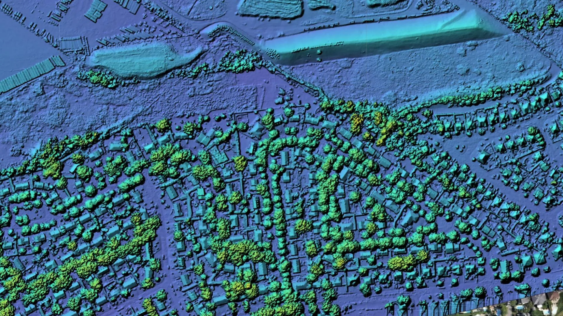 02
02 Mapping & 3D Reconstruction
Centimetre-grade orthomosaics, surface models, meshes and volumetrics: measurable, georeferenced geospatial products.
Open →Industrial Inspection
Close-range scans of structures, stockpiles and assets, reaching the dangerous, the tall and the hard-to-access without scaffolding.
Open →The fleet
Aircraft and payloads
we build ourselves.
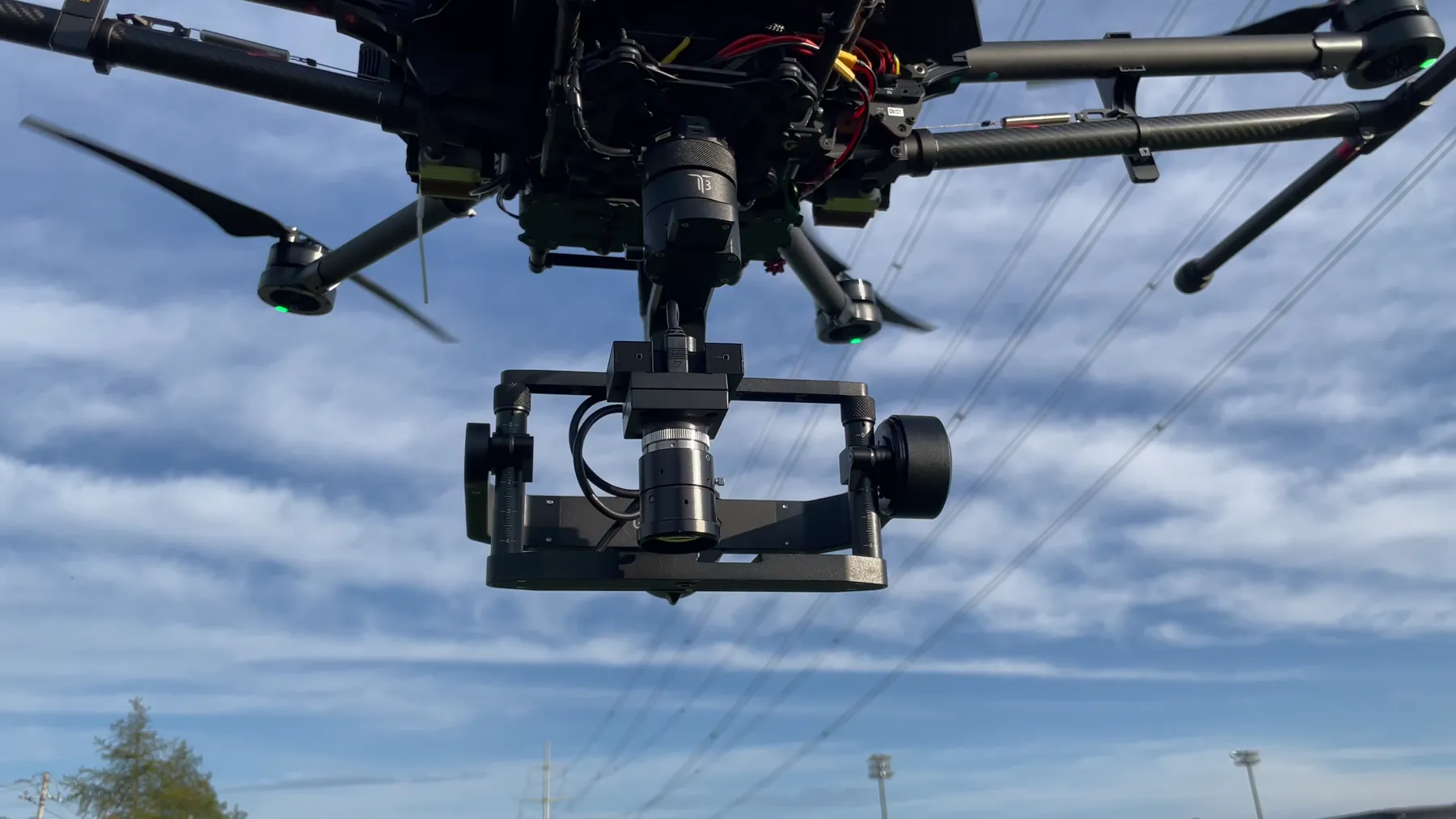
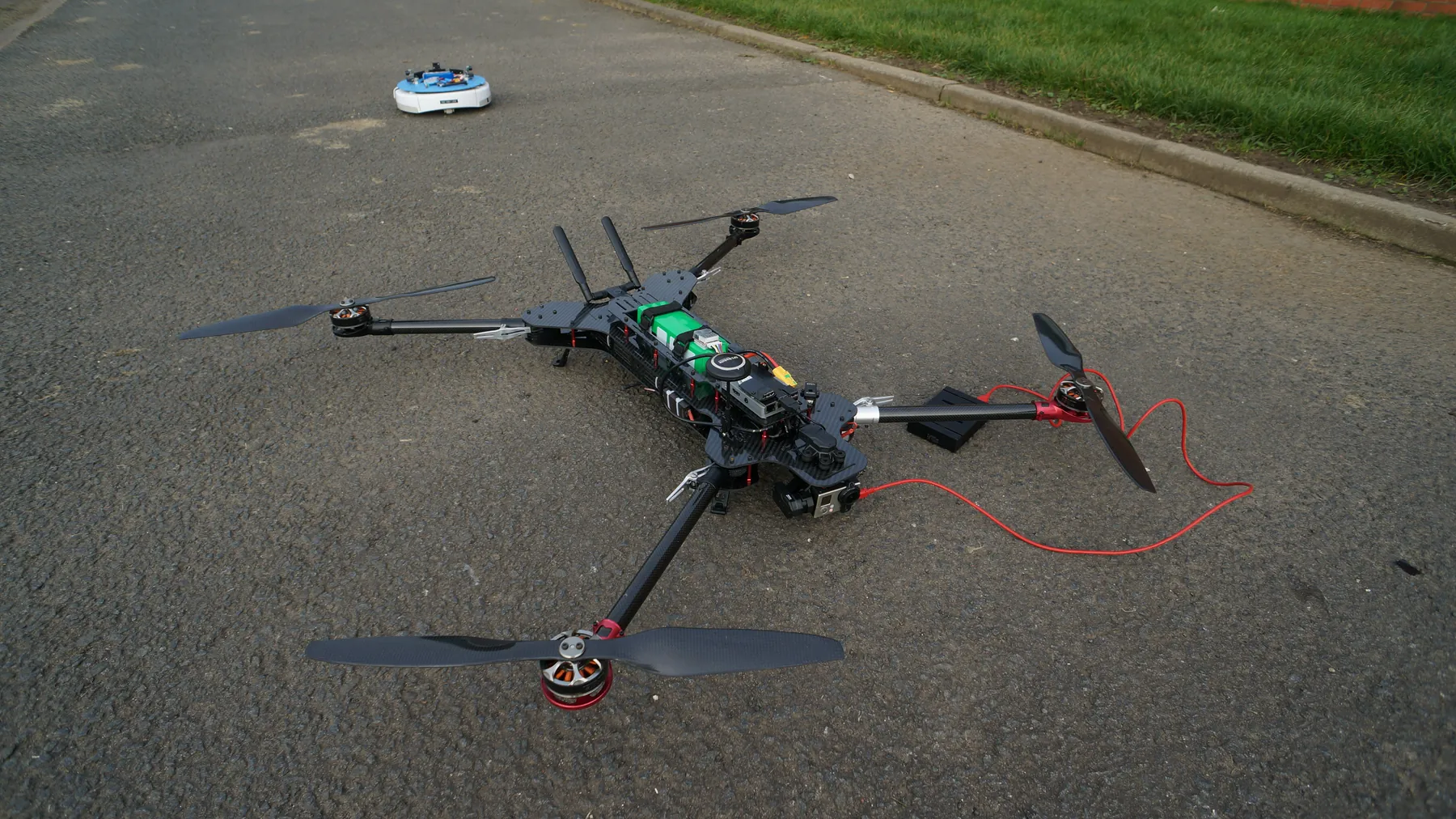
From micro indoor quads that hold position by themselves to large survey hexacopters and catapult-launched fixed-wing: we assemble the airframe, wire the electronics and mount the sensor for the job.
- IMAGING
- RGB + 6-band multispectral
- STABILITY
- 3-AXIS Gimbal-stabilized capture
- MISSION
- AUTO Autonomous flight planning
- RANGE
- BVLOS Beyond-line-of-sight airframes
Next step
Have something
that needs eyes in the air?
Tell us the field, the site or the structure, and the decision you need to make. We'll scope the airframe, the sensor and the deliverables.