
Orthomosaics
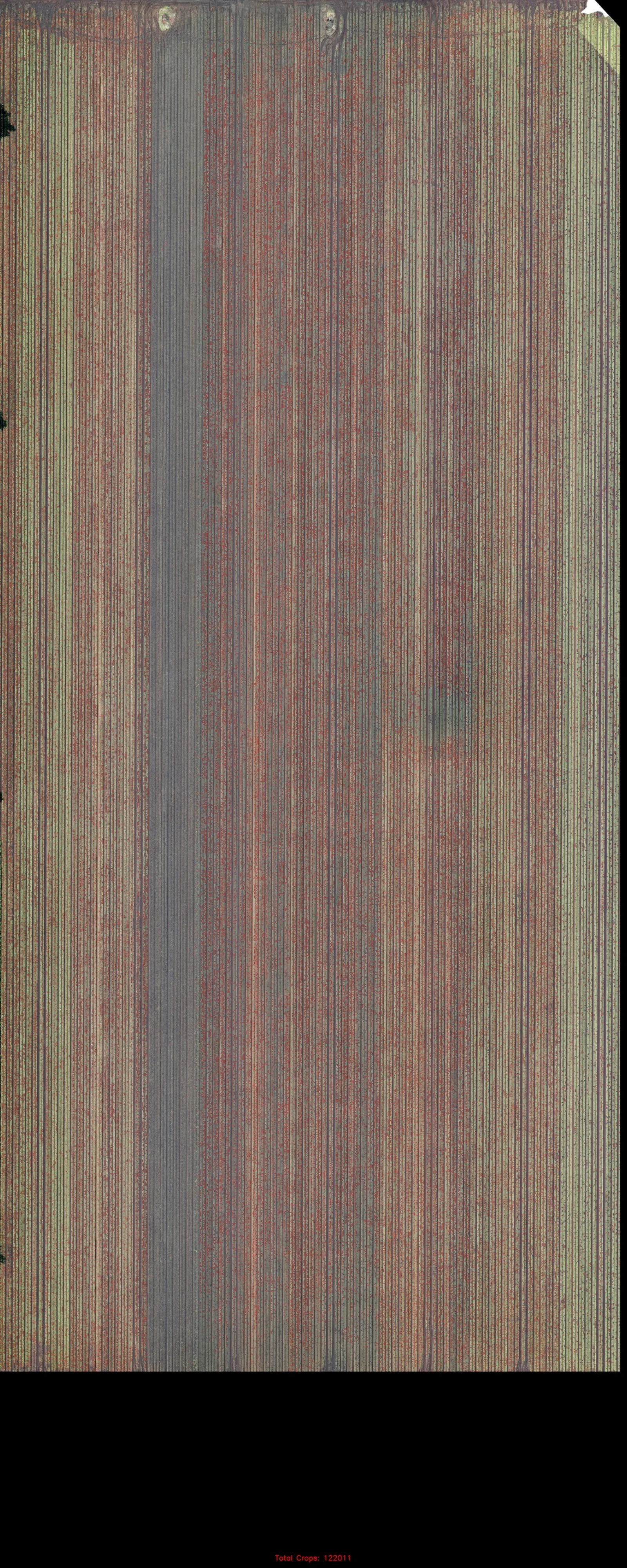
Distortion-corrected, geometrically true aerial maps stitched from hundreds of overlapping frames, so you can measure distances and areas straight off the image.
02 Capability
Centimetre-grade geospatial products, captured from the air and delivered as measurable, georeferenced data, not just pretty pictures.
The output
We plan the mission, fly the sensor and process the imagery into a coherent set of geospatial products. Everything is georeferenced, measurable and repeatable, engineered to sit inside your existing survey, GIS and civil-design pipeline.
Distortion-corrected, geometrically true aerial maps stitched from hundreds of overlapping frames, so you can measure distances and areas straight off the image.
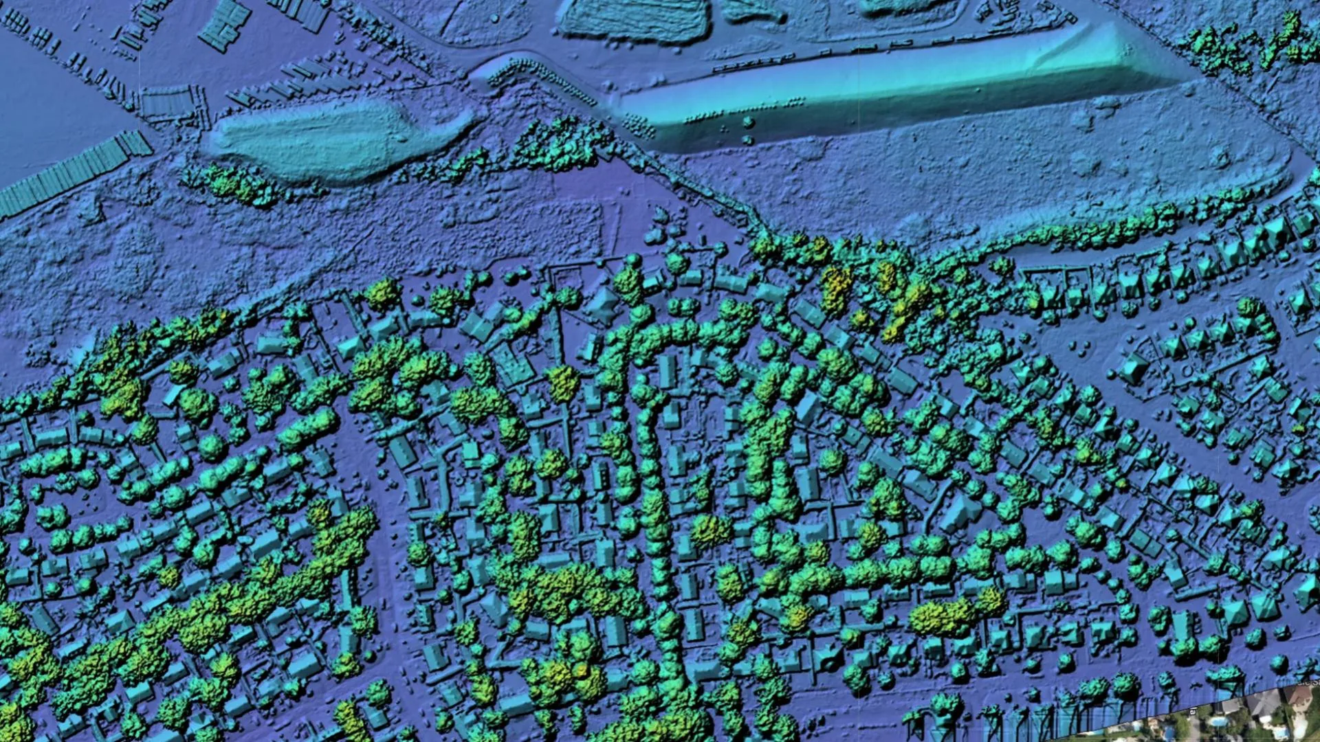
Digital Surface Models capture everything the sensor sees; Digital Terrain Models strip vegetation and structures to bare earth for hydrology and grading.
Fully textured triangulated meshes reconstructed from imagery: navigable, measurable models of buildings, sites and landscapes.
Cut-and-fill and stockpile volumes computed against a reference plane or prior survey, with per-region breakdowns and confidence bounds.
Vectorised contour lines and elevation profiles at your chosen interval, ready to drop into CAD, GIS or civil-design workflows.
Dense, georeferenced point clouds in LAS/LAZ, with millions of classified points for section analysis, clash detection and downstream modelling.
Reconstruction outputs
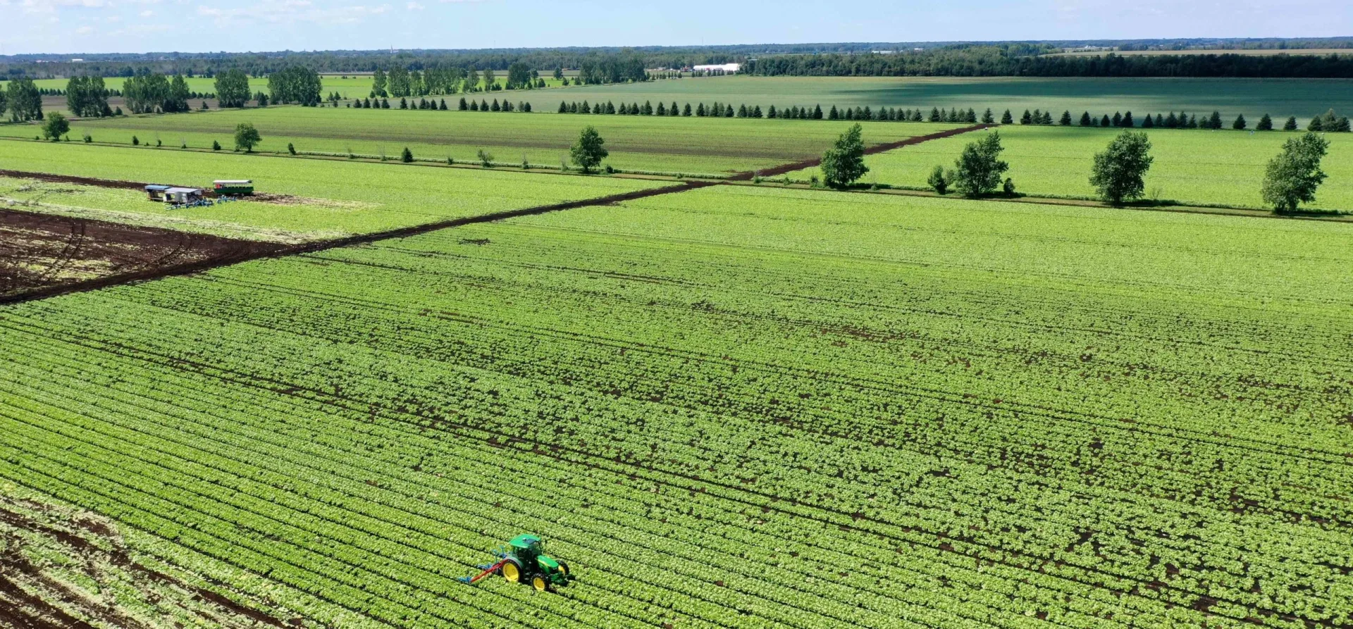
The same site, expressed four ways: elevation, mesh, orthomosaic and detail. Each layer is derived from a single automated capture.
Accuracy you can sign off on
Surveyed ground control points anchor every project to a known datum, so the products aren't just internally consistent, they're correct in the real world, and correct again on the next flight.
Where it flies
Rapid topographic capture over parcels that are slow, unsafe or expensive to walk, delivered as survey-grade deliverables.
Fly a site on a schedule and track earthworks, grading and vertical build-out against plan, epoch over epoch.
Auditable material volumes for aggregate, spoil and fill, reconciled against haul records and design targets.
A textured 3D record of the site exactly as it stands, archived for handover, dispute resolution and facility management.
Next step
Send us the area of interest and the decision you're trying to make. We'll scope the flight, the accuracy target and the deliverables.